SpatialScale Product Documentation

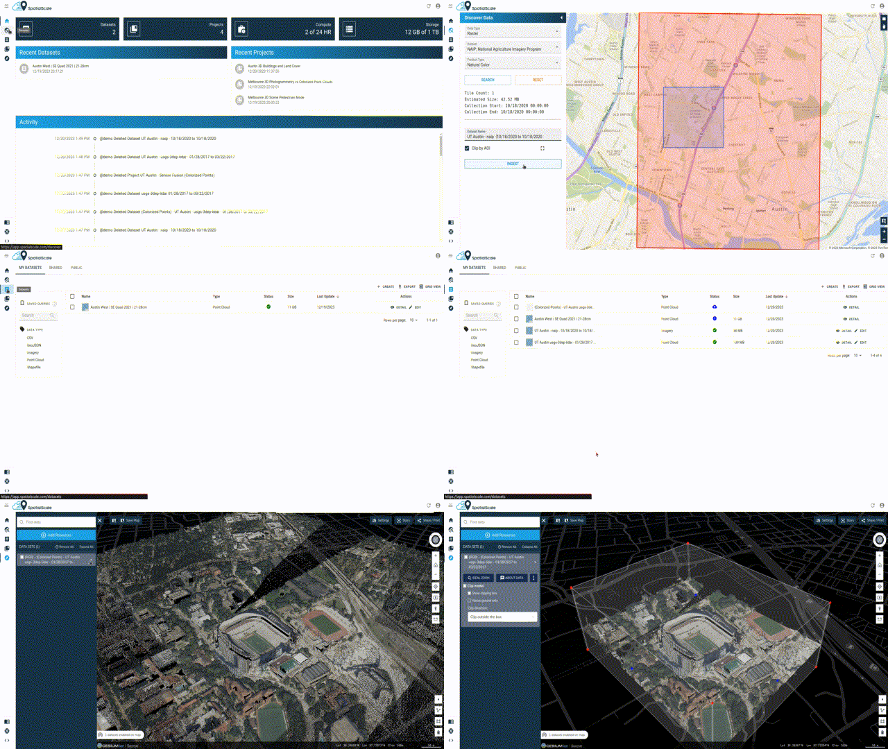
Welcome to the SpatialScale product documentation. SpatialScale is a self-service web application that leverages AI and cloud computing to automate geospatial workflows. Some of which include Lidar/Raster classification, segmentation, analysis, and feature extraction.
- Unearth new data sources via the discover module
- Classify point clouds into individual classes such as ground, vegetation, and buildings
- Generate digital surface and elevation models from point clouds
- Colorize point clouds with multispectral imagery
- Create shaded relief and other elevation products for visualization and enhanced analytics
- Calculate and visualize change between two point clouds
SpatialScale supports a wide range of data formats ensuring interoperability with a number of geospatial, image analysis, CAD, and LiDAR processing software platforms.
Upload vector or raster data from local disk, or make connections to web services hosted across on a network. Package output datasets from SpatialScale for download in other software, or share scenes created in SpatialScale with others via a shared link.
Get started using SpatialScale by reading through our documentation.